List of related pages
Emergency Notifications Learn about how we communicate emergency information and your role in helping us reach you! Regulated Open Burning Learn about open burning regulations, how to obtain your burn permits and current open burning status. Learn about what’s going…
Combined County Hazards Belgrade Hazards Big Sky Hazards Bozeman Hazards Manhattan & Three Forks Hazards West Yellowstone Hazards
How Do I Prepare? Emergency Plan – Self Sustainment The second activity is developing a plan for your family, or co-workers, on what you would do, and need, if you couldn’t leave where you are for an extended period of…
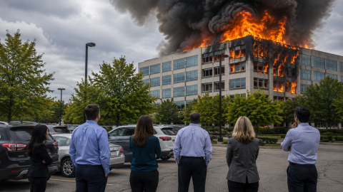
Warnings When a situation appears that it may become unsafe for people to stay in a certain location, a Warning will be issued. We try to provide advanced warning when possible with a Warning, however it is not always possible…
Community Hazard Pages Hazard Risk Summary County Wide Hazard Risk Summary Hazard Jurisdiction Probabilityof Occurrence(0-3) Population Impact(1-3 raw) Property Impact(1-3 raw) Economic Impact(1-3 raw) RelativeOverall Risk(0-54) Railway Incidents Belgrade 3 3 3 2 51 Railway Incidents Big Sky 0 Railway…
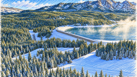
Early Warning System The Middle Creek Early Warning System is designed to provide notification to people who may be in the inundation area as soon as possible. Essentially we are trying to warn people before the water gets to them.…
We can’t alert you, if we can’t reach you!
Burn Permit management in all of Gallatin County and the Madison County portion of Big Sky.
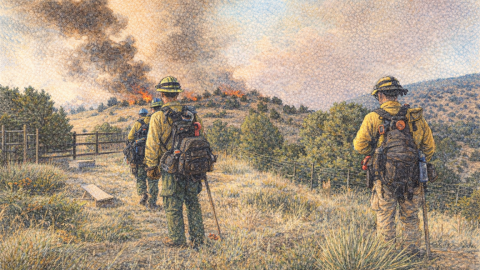
Wildland Urban Interface Gallatin County’s 2026 Wildland Urban Interface (WUI) map was developed through a collaborative Quantitative Wildfire Risk Assessment (QWRA) conducted by Vibrant Planet/Pyrologix for Gallatin, Park, Stillwater, and Carbon Counties. The assessment followed the methodology outlined in General…
Overview Air quality can affect everyone’s health, especially children, older adults, pregnant women, and people with asthma, heart disease, or other respiratory conditions. In Gallatin County, poor air quality is most commonly caused by wildfire smoke, but winter temperature inversions,…
For the community of West Yellowstone