

When snow accumulation on a slope cannot be supported any longer, the snow support structure may break and fall creating an avalanche. The subsequent rush of unsupported snow can bury and move things in its path. The majority of avalanches do not cause any damage; occasionally however, people and property may fall in their paths.
According to the Montana Disaster and Emergency Services website, “If it is assumed that an accumulation of snow is possible anywhere in Montana, then we can evaluate the potential for hazard solely on the basis of terrain characteristics. The most important factor by far is terrain steepness. Wet snow avalanches can start on slopes of 20 degrees or less, but the optimum slope angle for avalanche starting zones is 25-45 degrees. Slopes steeper than 45 degrees will not normally retain enough snow to generate large avalanches, but they may produce small sluffs that trigger major avalanches on the slopes below. Therefore, all slopes of 20 degrees and greater should be considered as potential avalanche sites.”
-
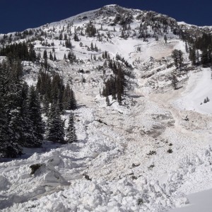
- Debris Path
-

- Headwall
-

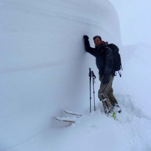
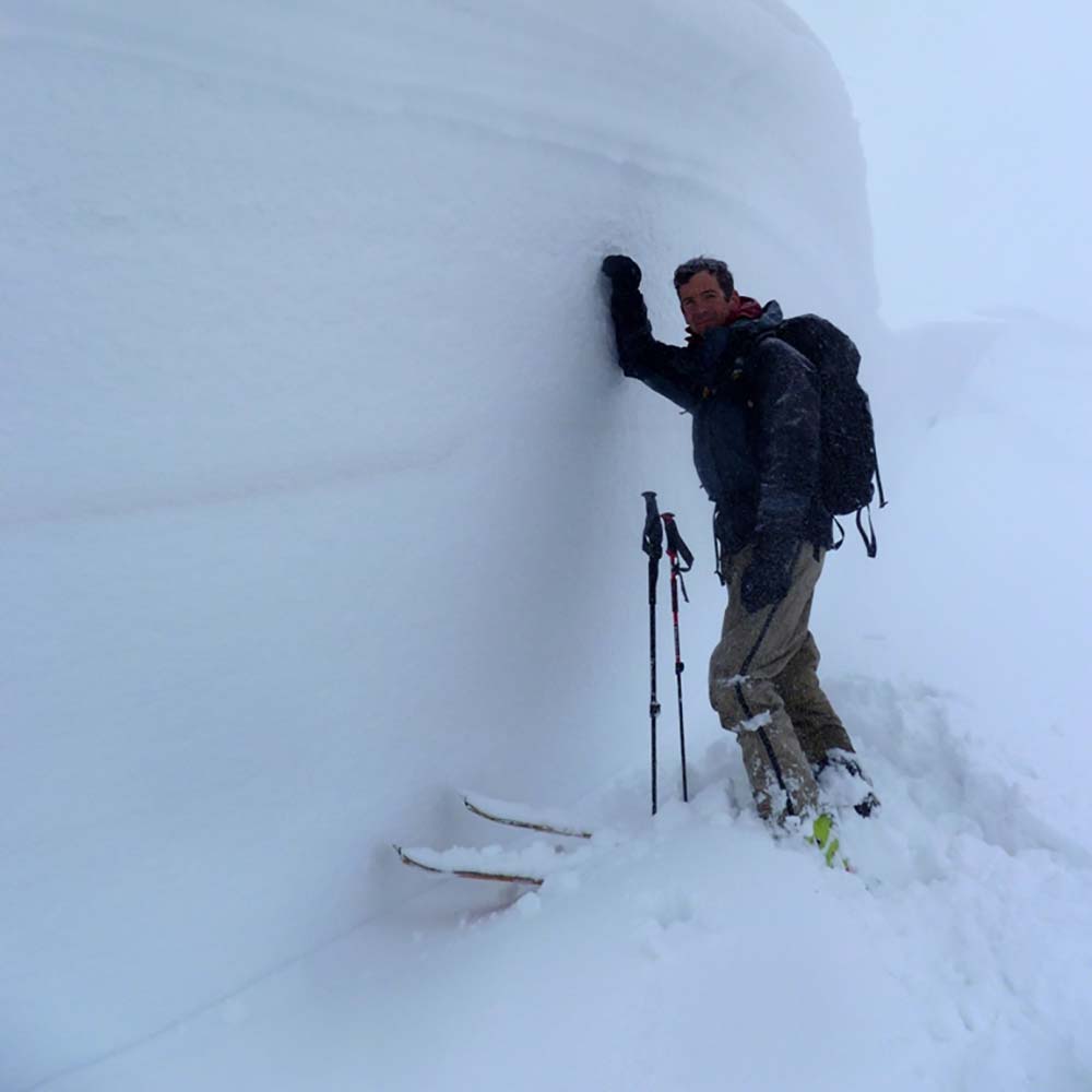
- Weak Snow Layer
-
- Debris Path
-
- Surface Hoar
-
- Debris Path

-
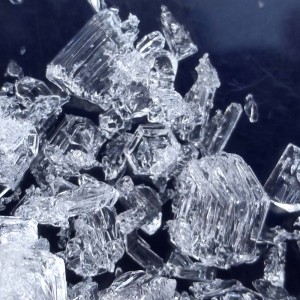
- Facets

-
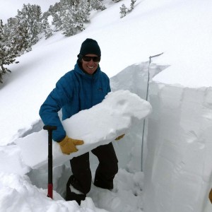
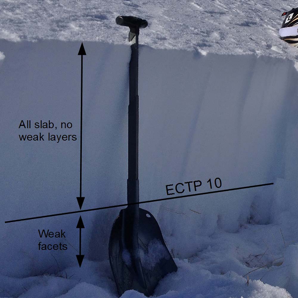
- Column Test

-
- Debris Path

-
- Headwall
-
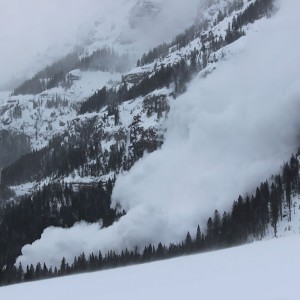
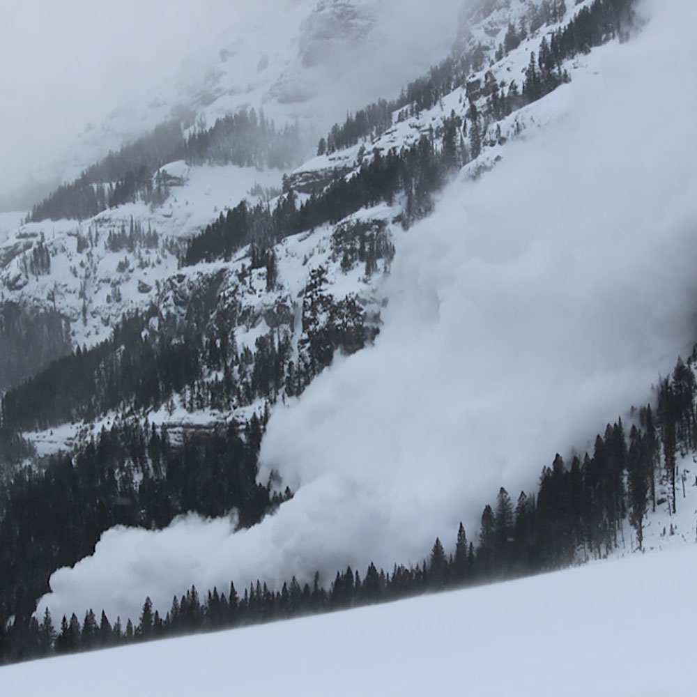
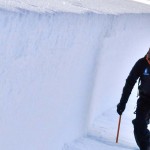
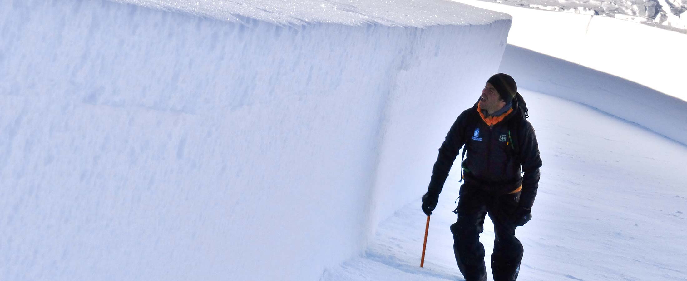
- Active Avalanche
History in Gallatin County
The history of avalanches in Gallatin County is much more pronounced than that of landslides. Both, however, have occurred. The table below outlines the impacts of avalanches since 1995. Note that avalanches are a normal occurrence in Gallatin County and typically do not cause significant damages. The only concerns here are when people or property lie in the path. GNFAC Avalanche Reports
| DATE | LOCATION | DETAILS |
| 1/19/2016 | Cedar Basin | 1 skier caught, partially buried and killed |
| 11/5/2015 | Sacajawea Bowl | 2 caught, not buried, 1 injured |
| 4/11/2015 | Beehive Peak | 1 caught, not buried, killed |
| 2/26/2014 | Chippewa | 1 caught |
| 2/16/2014 | Beehive Basin | 3 skiers caught, 2 partially buried, 1 injured |
| 1/1/2014 | Onion Basin | 2 caught, 1 fully buried and killed, 1 partially buried |
| 2/19/2013 | Bridger Peak | 1 caught, partially buried, injured |
| 2/9/2013 | Alex Lowe Peak | 1 caught |
| View Full Gallatin County List |
Since 1995, 11 people have been killed or injured by avalanches in Gallatin County with numerous additional injuries and close calls. Montana’s rate in the previous graph is increasing due to heavier use of snowmobiles in the backcountry. Significant landslides have not been documented in Gallatin County, however, small ones are generally known to have occurred in numerous locations. Despite the numerous relatively minor incidents in Gallatin County from avalanches and landslides, none were declared state or federal disasters.
Probability
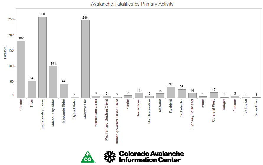
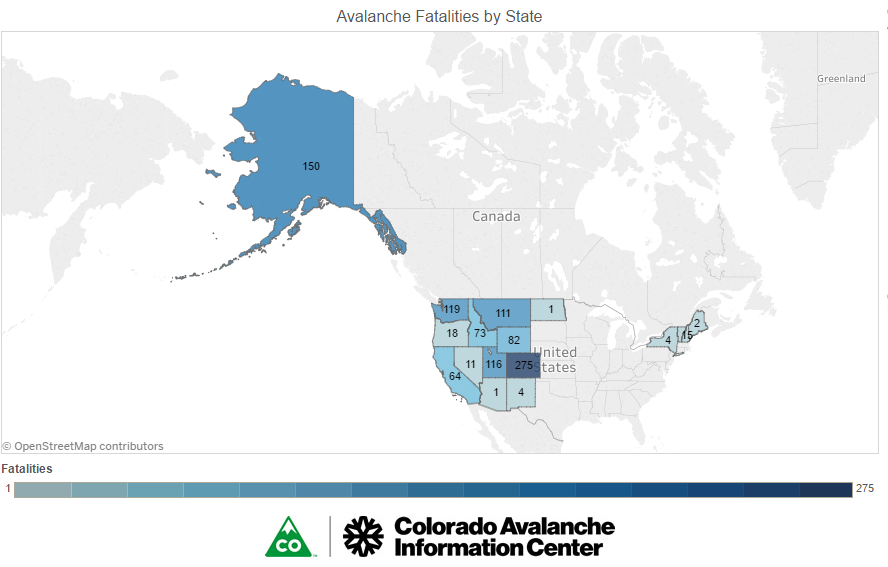
The Colorado Avalanche Information Center has compiled statistics on a statewide basis on avalanche fatalities. Montana ranks fifth in the nation with over 50 fatalities from 1950/51 to 2000/01. The top three activities being undertaken at the time of an avalanche were climbing, backcountry skiing, and snowmobiling. Ratings have not been compiled for counties within Montana, however, the historical databases show that Gallatin County is one of the more vulnerable counties in the state from avalanche, particularly in the West Yellowstone and Gallatin Canyon areas. The history of significant incidents noted in the table above demonstrates that the population is most vulnerable to avalanches during the months of December, January, February, and March.
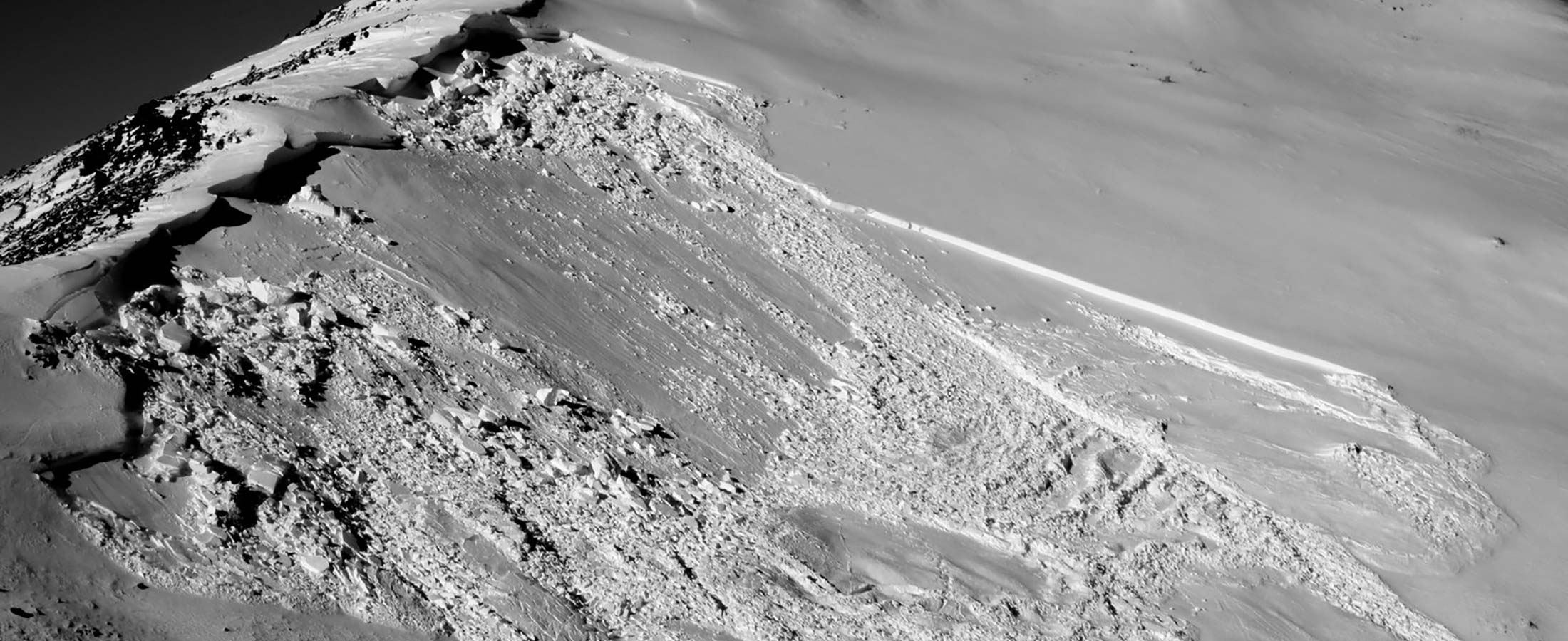
-
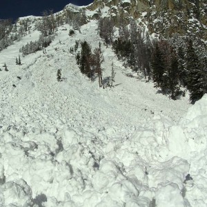
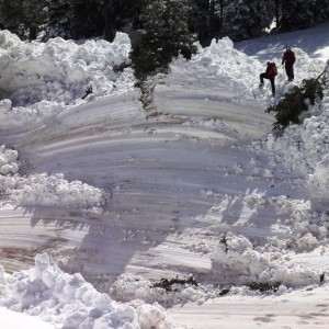
- Avalanche on Mt. Blackmore. Courtesy Ben Vandenbos.
-
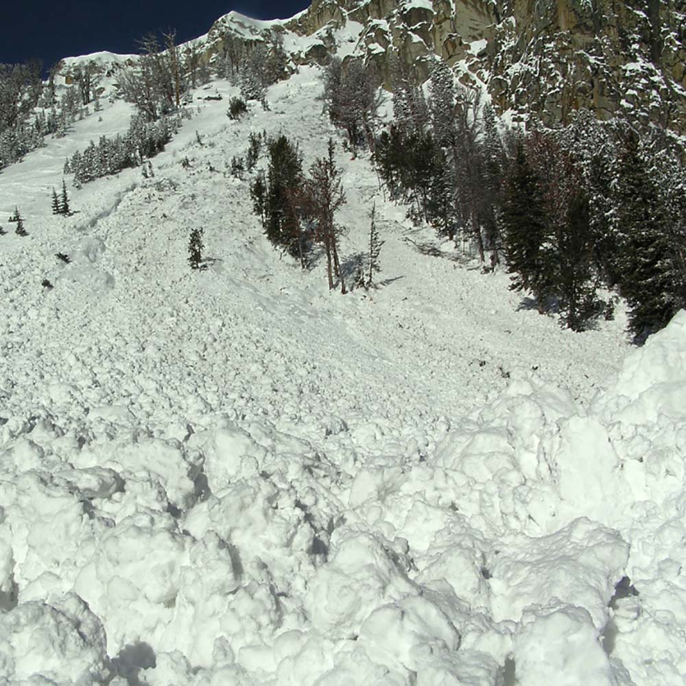
- Avalanche Path in Bridger Gully. Courtesy GNFAC.
-
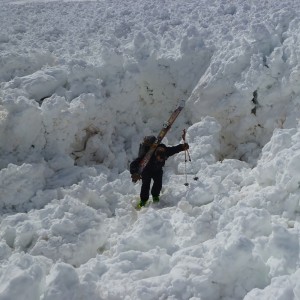
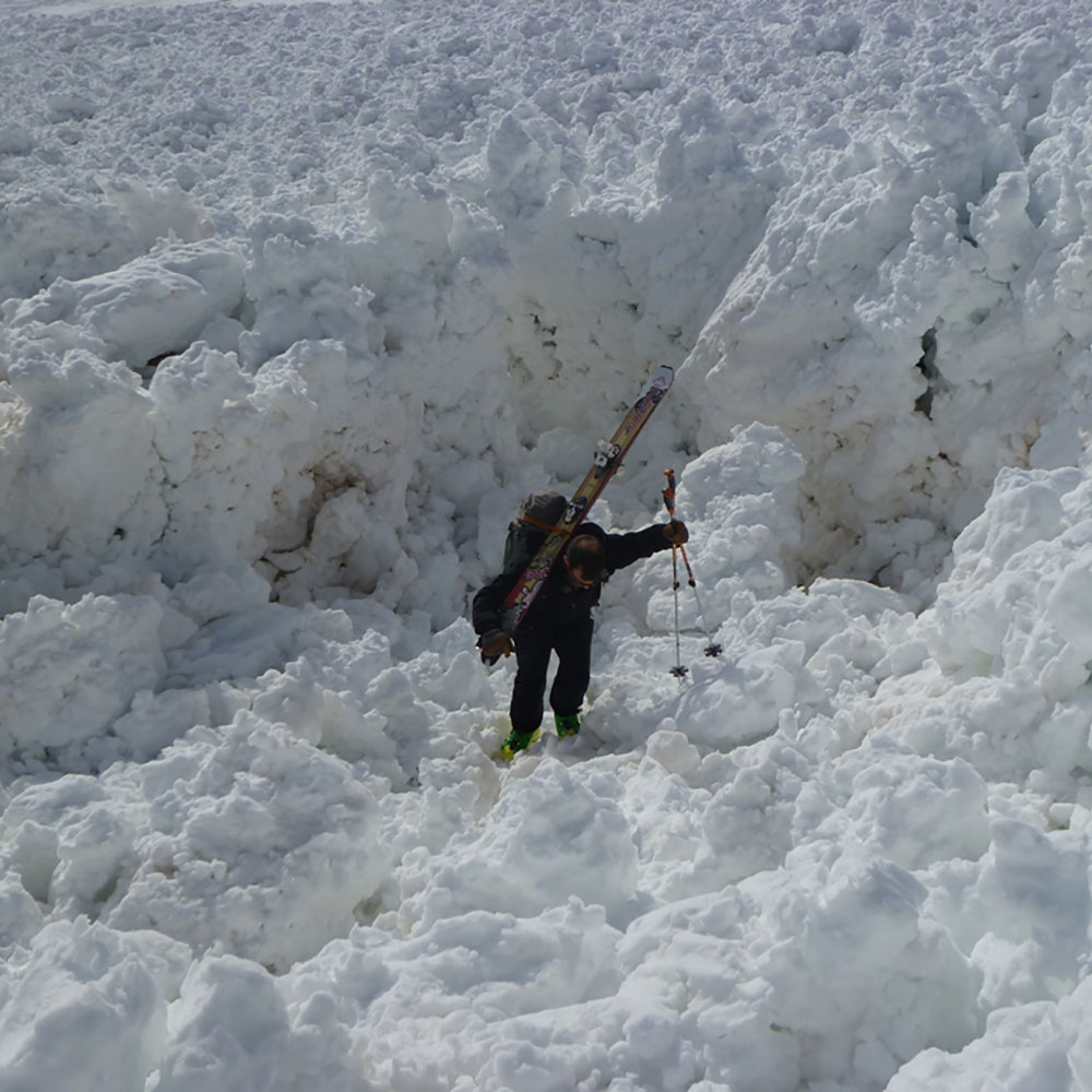
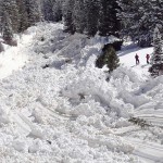
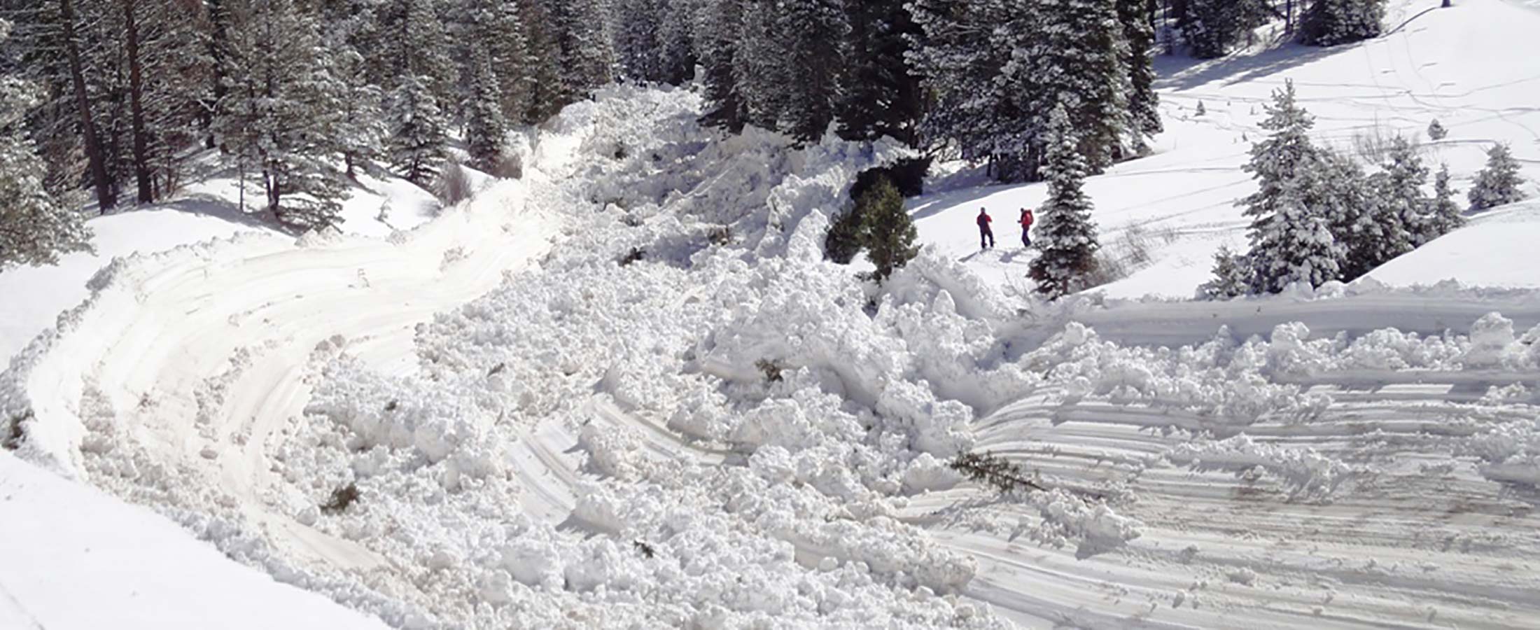
- Avalanche Debris on Mt. Blackmore. Courtesy Ben Vandenbos.
-
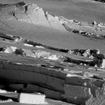
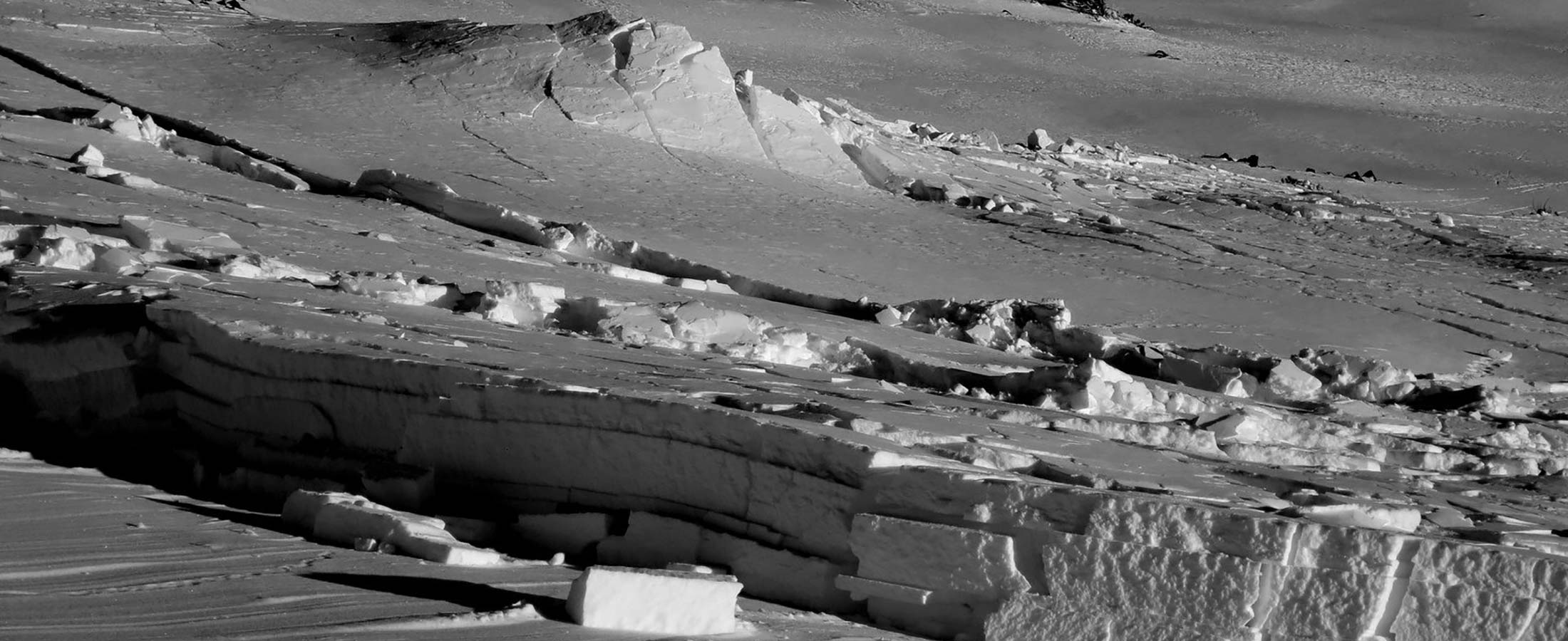
- Crown of Avalanche. Courtesy GNFAC.
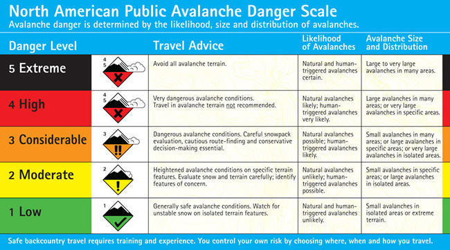
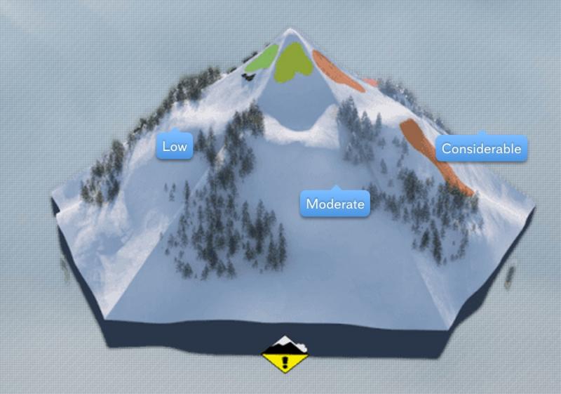
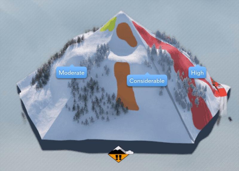
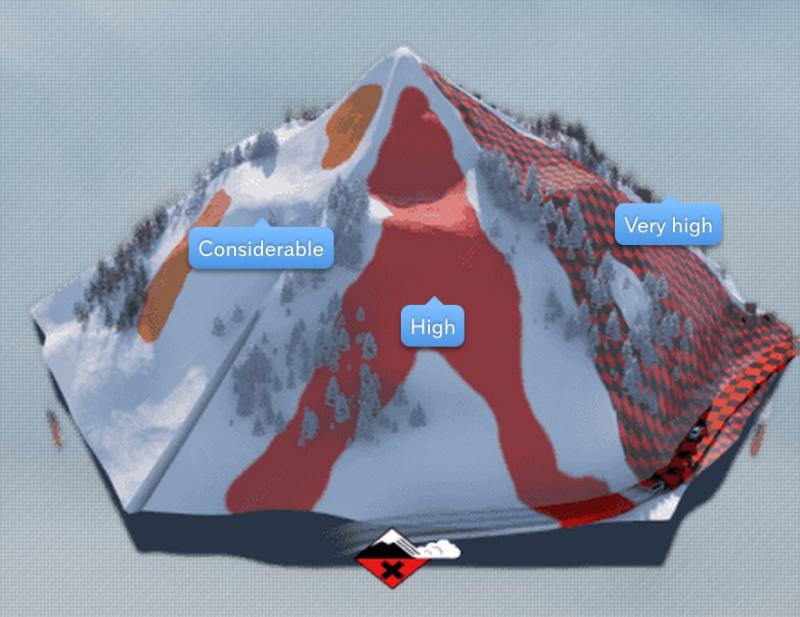
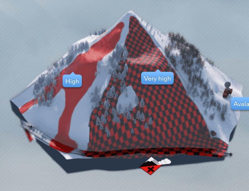
Avalanche Danger Scale
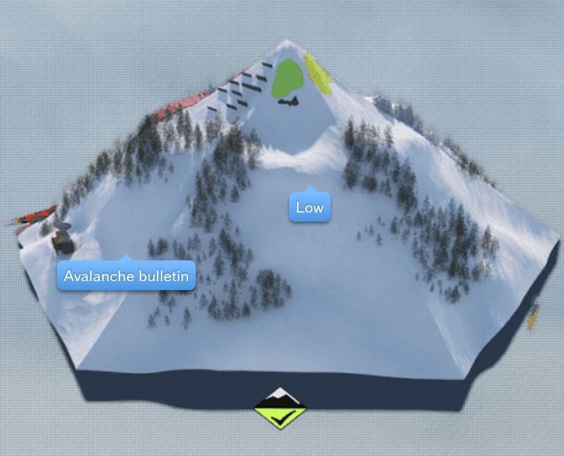
Avalanche Size to Risk Comparison
-
- Low
-
- Moderate
-
- Considerable
-
- High
-
- Extreme
Comparison of typical size and distribution of avalanches during the various danger ratings courtesy of https://www.whiterisk.ch/en/.
More information on danger ratings and their correlations are available at the Utah Avalanche Center.
Resources
Avalanche Safety Tutorials
2010 Saddle Peak Avalanche